New Solo Exhibition

Paul Burgess
A Kent based photographer, I have been exploring the landscape for many years, initially using film, but now I work is largely digital, although I revert to the view camera when time allows. Currently completing a photography degree course as a very mature student, which is forcing me to examine why I make photographs and the meaning in my work.
A new solo exhibition of photographs, by photographer Paul Burgess ARPS, exploring how conflicts over the centuries have marked the landscape, opens at the Trinity Arts Centre, Church Road, Tunbridge Wells on Tuesday 28th June and runs until Sunday 3rd July. The free exhibition is open to visitors from 10:00 – 15:30 daily and during evening events at the theatre.
My passion for landscape photography, which began in the 1990s, has been driven by a fascination with the marks made by man on the landscape and nature’s innate ability to reclaim these sites for itself.
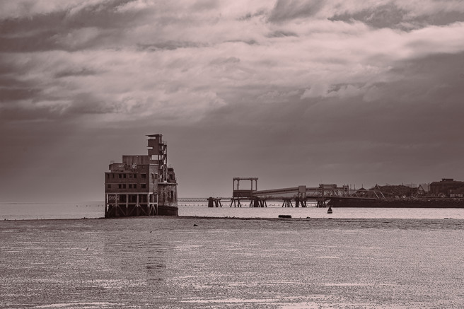
The south of England has been the defensive front line of the UK since the iron age when the Roman legions landed at Richborough in Kent. Since then, successive conflicts have left their marks on the landscape in the form of earthworks and structures. Many of these sites present a multi-layered history of conflicts over hundreds of years, for example, Grain Fort, which started life as a fort to defend the Medway estuary from the Dutch Navy, supported naval guns in WW1 and an anti-aircraft battery in WW2.
The photographs, a mixture of digital and 4x5 film monochrome images, are part of an ongoing project exploring how these structures have marked the landscape and how the landscape is reclaiming them.
The project started in 2012 but crystalised in the final year of my degree course in 2020. Researching 2nd world war structures led me to the Extended Defence of Britain Overlay to Google Earth, made available by The Pillbox Study Group. This huge database contains details of the tens of thousands of installations still extant and the extent to which they are still visible.
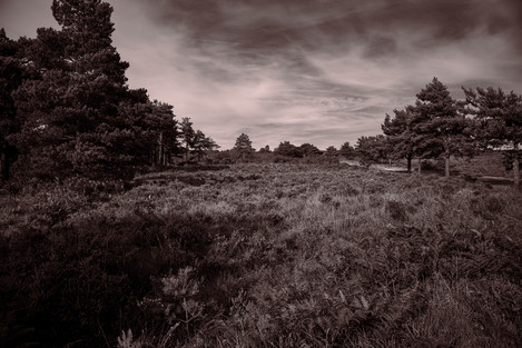
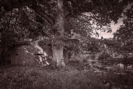
The images depict some of the more obvious installations along the south coast, but also explore less obvious features, for example, the WW1 rifle range in Ashdown Forest that has been reclaimed by nature so that you will miss it unless you know its location, pill boxes are hidden in the undergrowth along the river Medway, now ad-hoc shelters for sheep and cattle and scenic ponds that were originally WW2 bomb craters.
I feel a strong sense of the presence of the men who manned the installations over time when photographing these sites. Many of the men who served in these locations left their own marks before moving on. The WW1 training area in Ashdown Forest has a particular significance for me as my great uncle trained there before going to France in 1915.
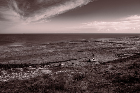
Warden Point Battery and Radar Station, Isle of Sheppey now under water at high tide due to coastal erosion
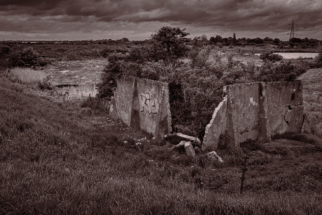
Kent has been associated with the production of gun powder and munitions since the 16th century. The marshes along the Thames and Medway are pockmarked with derelict buildings and docks, associated with the production of munitions until they were abandoned at the end of WW2. These places, once hives of industrial activity are now silent remains occupied only by birds and sheep.
This show is a snapshot of my progress to date and not the end of the project. There are many sites locally and more widely in the rest of the UK that I intend to visit and photograph over the coming years.
Exhibition Details
Marks of Conflict is at the Trinity Arts Centre, Church Road, Tunbridge Wells TN1 1JP from the 28th June until the 3rd of July. Opening Times 10:00 – 15:30 Monday – Saturday, and when events are taking place in the theatre in the evenings
- Warden Point Battery and Radar Station, Isle of Sheppey now under water at high tide due to coastal erosion
- Abandoned WW1 Rifle Range, Ashdown Forest
- Overgrown Pill Box, River Medway, Leigh
- Munitions Hut Dartford Marshes
- Machine Gun Emplacement Rye Harbour
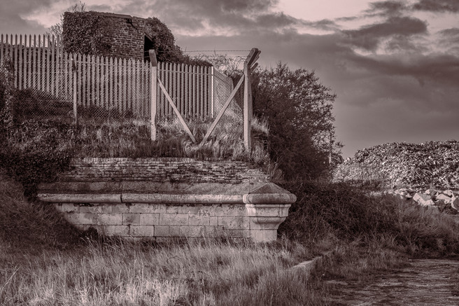
- Layers of Defence, Sheerness Isle of Sheppey, from Napoleon to the Present Day
- Grain Fort, Protecting the Medway Estuary
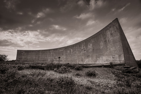
- Sound Mirror, Denge Marsh – a 1920’s precursor to radar for tracking enemy aircraft
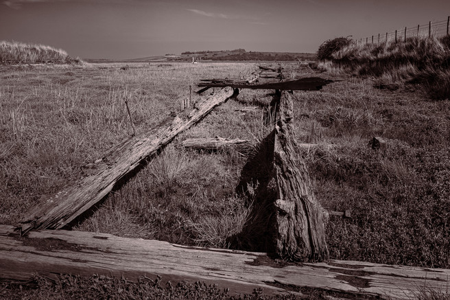
- Abandoned Gunpowder Dock – Oare Marshes


